World Travel Awards Winner
Endorsed by ASTA
In Alliance with Regenera
Rated Excellent by Tripadvisor
The SACRED VALLEY, about 30km northwest of Cusco, traces its winding, astonishingly beautiful course from the Imperial city down towards Pisac, Urubamba, Ollantaytambo, and eventually Machu Picchu.
The Vilcanota River itself starts in the high Andes south of Cusco until it reaches the Sacred Valley; from here on its known as Río Urubamba, an energetic torrent that flows right down into the jungle to merges with the Amazon. Standing guard over the two extremes of the Sacred Valley, the Inca citadels of Pisac (east extreme) and Ollantaytambo (west extreme) perch high imposing.
Pisac itself is a small, pretty Inca town with one of Peru’s best artesanía markets. Further west are the ancient villages of Calca, Yucay, and Urubamba, the last of which has the most tourist facilities and a reputation as an Inca spiritual and meditation center. At the far northwest end of the Sacred Valley, the magnificent ancient town of Ollantaytambo is overwhelmed by the astounding temple fortress clinging to the sheer cliffs beside it.
The entire valley was well exploited agriculturally by the Incas. Even, there are several microclimates allowing specializations in different fruits, maize, and local plants. Today, it is a very pleasant place to spend some time, with good restaurants and excellent weather around the year. It makes an ideal base from which to take a tent and trek above one of the Urubamba’s minor tributaries, or else tackle one of the Salkantay trails, excellent for the senders lovers.
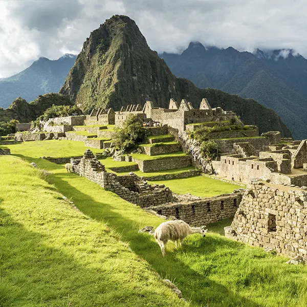
6 Days / 5 Nights
Lima, Cusco, Sacred Valley, Machu Picchu
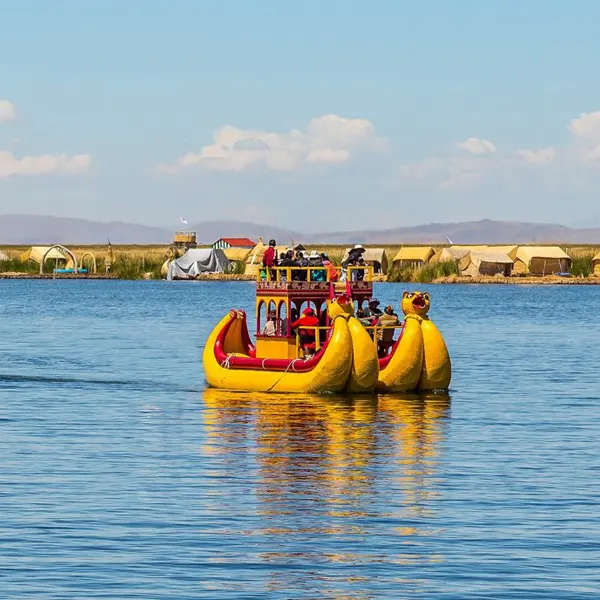
8 Days / 7 Nights
Lima, Cusco, Sacred Valley, Machu Picchu, Puno, Lake Titicaca
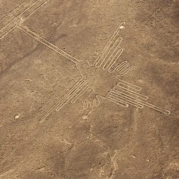
8 Days / 7 Nights
Lima, Ica, Paracas, Nazca, Cusco, Sacred Valley, Machu Picchu
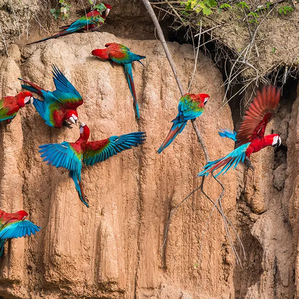
9 Days / 8 Nights
Lima, Cusco, Sacred Valley, Machu Picchu, Puerto Maldonado, Tambopata
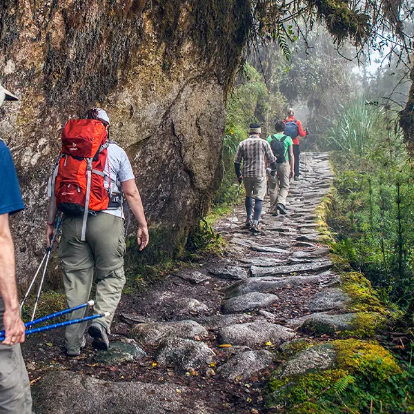
9 Days / 8 Nights
Lima, Cusco, Sacred Valley, Inca Trail, Machu Picchu
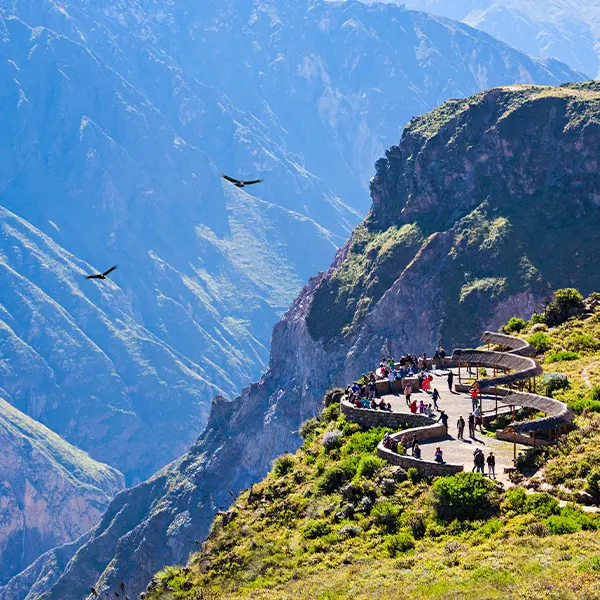
11 Days / 10 Nights
Lima, Arequipa, Colca Canyon, Puno, Lake Titicaca, Cusco, Sacred Valley, Machu Picchu
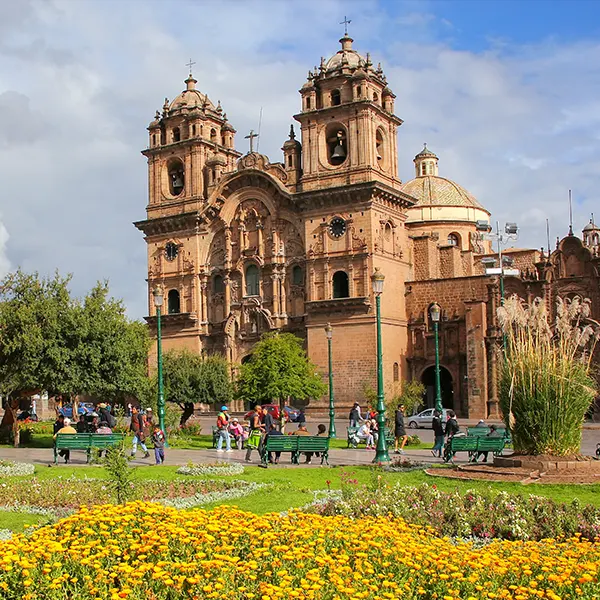
11 days / 10 nights
Lima, Puerto Maldonado, Cusco, Sacred Valley, Machu Picchu, Puno, Lake Titicaca
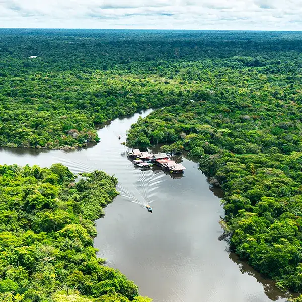
11 days / 10 nights
Lima, Cusco, Sacred Valley, Machu Picchu, Iquitos
About 23km from Cusco and 7km before you reach Pisac, where the road starts steeply down into the Sacred Valley, Awana Kancha offers a rare opportunity to see alpacas and llamas close at hand, as well as traditional weaving in practice. Quality alpaca and wool products are for sale too.
Apart from the road and river bridge, the hub of Pisca activity is around Plaza Constitución, where you’ll find most of the restaurants and the few hotels that exist, as well as the popular market and the towns quaint church.
Commerce bustles around the Iglesia San Pedro Apóstol, an unusually narrow concrete church located in Pisac's central market plaza, which is dominated by an ancient and massive pisonay tree.
The thriving market is held in the town's main square, where you can buy hand-painted ceramic beads and pick up the occasional bargain. Even if the market's not on, there are still a number of excellent artesanía shops, particutarly along Calle Bolognesi (try Walter's or Luigi), which connects the Sacred Valley road and river bridge with the plaza.
Set high above a valley floor patchworked by patterned fields and rimmed by centuries of terracing amid giant landslides, the citadel displays magnificent stonework – water ducts and steps have been cut out of solid rock - and panoramas. The citadel takes around an hour and a half to climb - only attempt it if you're fit and already well adjusted to the altitude. Alternatively, take a tour - try one of the agents in Cusco - or pick up a taxi or colectivo from the river bridge.
From the saddle on the hill, you can see over the Sacred Valley to the north: wide and flat at the base, but towering towards the heavens into green and rocky pinnacles. To the south, the valley closes in, but the mountains continue, massive and steep-sided, casting shadows in one another. Below the saddle, a semicircle of buildings is gracefully positioned on a large natural balcony under row upon row of fine stone terraces thought to represent a partridge's wing (pisac meaning "partridge").
In the upper sector of the ruins, the citadel's Templo del Sol (Temple of the Sun) is the equal of anything at Machu Picchu, and more than repays the exertions of the steep climb (20-30min from the car park). Reached by many of the dozens of paths that crisscross their way up through the citadel, it's poised in a flattish saddle on a great spur protruding north-south into the Sacred Valley. The temple was built around an outcrop of volcanic rock, its peak carved into a "hitching post" for the sun. The hitching post alone is intriguing: the angles of its base suggest that it may have been used for keeping track of important stars, or for calculating the changing seasons with the accuracy so critical to the smooth running of the Inca Empire, Above the temple lie still more ruins, largely unexcavated, and among the higher crevices and rocky overhangs several ancient burial sites are hidden.
Known for its medicinal springs, the first significant village between Pisac and Urubamba is Lamay, just 3km away. High above this village, on the other side of the Río Vilcanota and just out of sight, are the beautiful Inca terraces of Huchiq'osqo. A little further down the road you come to the larger village of Calca. Moving down the valley from here the climate improves and you see pears, peaches and cherries growing in abundance. In July B and August vast piles of maize sit beside the road waiting to be used as cattle feed.
The popular thermal baths of Machacanca are within an hour and a half's walk of Calca, signposted from the town. Situated under the hanging glaciers of Mount Sahuasiray, this place was favoured by the Incas for the fertility of its soil, and you can still see plenty of maize cultivation here.
The next major settlement before you get to Urubamba, Yucay had its moment in Peruvian history when, under the Incas, Huayna Capac, father of Huáscar and Atahualpa, had his palace here. You can admire the ruined but finely dressed stone walls of another Inca palace (probably the country home of Sayri Tupac, though also associated with an Inca princess) on the Plaza Manco II.
About 80km from Cusco via Pisac or around 60km via Chinchero, URUBAMBA is only a short way down the main road from Yucay's Plaza Manco II, and it is here that the Río Vilcanota becomes the Río Urubamba (though many people still refer to this stretch as the Vilcanota). Although it has little in the way of obvious history interest, the town has good facilities and is situated in the shadow of the beautiful Chicon and Pumahuanca glaciers. At weekends there's a large market on Jirón Palacio, while at the large ceramic workshops set around a lovely garden at Av Berriozabal 111 new and ancient techniques are used to produce colourful, Amerindian-inspired items for sale.
The laid-back and attractive Plaza de Armas has palm trees and pines surrounded by interesting topiary. At the heart of the plaza is a small fountain topped by a maize plant sculpture, but everything stands in deference to the red sandstone Iglesia San Pedro, with its stacked columns below two small belfries. The church's cool interior has a vast, three-tier gold-leaf altar, and at midday light streams through the glass-topped cupola.
A stunning Inca site, a part agricultural center and part ceremonial, Moray lies about 6km north of Maras village on the Chinchero side of the river, within a two- to three-hour walk from Urubamba. The ruins are deep, bowl-like depressions in the earth, the largest comprising seven concentric circular stone terraces, facing inward and diminishing in radius like a multi-layered roulette wheel.
The salt pans of Salinas, still in use after more than four hundred years, are situated 4km on from the village of Maras, and a similar distance from Moray Cross the river by the footbridge in the village, turn right, then after a little over 100m downstream along the riverbank, turn left past the cemetery and up the canyon along the salty creek. After this you cross the stream and follow the path cut into the Cliffside to reach the salt pans, which are soon visible if still a considerable uphill hike away. The trail offers spectacular views of the valley and mountains, while the Inca salt pans themselves are set gracefully against an imposing mountain backdrop. A scenic trail (about an hour's walk) leads down through the salt pans and on to the Urubamba river below, where there's a footbridge across to the village of Tarabamba, which is on the road for Urubamba (6km) or Ollantaytambo; colectivos pass every twenty minutes or so in both directions.
CHINCHERO ("Village of the Rainbow"), an old colonial settlement with a great market, lies 3762m above sea level, 28km (40min) northwest of Cusco and off the main road, overlooking the Sacred Valley, with the Vilcabamba range and the snowcapped peak of Salcantay dominating the horizon to the west. The bus ride here takes you up to the Pampa de Anta, once a huge lake but now relatively dry pasture, surrounded by snowcapped nevadas, The town itself is a small, rustic place, where the local women, who crowd the main plaza during the market, still wear traditional dress. Largely built of stone and adobe, the town blends perfectly with the magnificent display of Inca architecture, ruins and megalithic carved rocks, relies of the Inca veneration of nature deities. The best time to visit is on September 8 for the lively traditional fiesta. Failing that, the Sunday morning market in the lower part of town, reached along Calle Manco II, is smalter and less touristy than Pisacs but has attractive local craftwork for sale.
Uphill from the market, along the cobbled steps and streets, you´ll find a vast plaza, which may have been the original Inca marketplace. It's bounded on one side by an impressive wall reminiscent of Sacsayhuaman's ramparts, though not as massive - it too was constructed on three levels, and ten classical inca trapezoidal niches can be seen along its surface. On the western perimeter of the plaza, the raised Inca stonework is dominated by a carved stone throne, near which are puma and monkey formations.
The plaza is also home to a superb colonial adobe iglesia. Dating from the early seventeenth century, it was built on top of an Inca temple or palace, perhaps belonging to the Inca emperor Tupac Yupanqui, who particularly favoured Chinchero as an out-of-town resort - most of the areas aqueducts and terraces, many of which are still in use today, were built at his command. The church itself boasts frescoes and paintings, which, though decaying, are still very beautiful and evocative of the town's colonial past. Many pertain to the Cusqueña school and celebrated local artist Mateo Cuihuanito, the most interesting depicting the forces led by local chief Pumacahua against the rebel Tupac Amaru II in the late eighteenth century.
OLLANTAYTAMBO has one of the most Inca-looking of the Sacred Valley's settlements. Coming down the valley from Urubamba the river runs smoothly between a series of impressive Inca terraces that gradually diminish in size. just before the town, the railway cracks reappear and the road climbs a small hill to an ancient plaza. The useful Ollantaytambo Heritage Trail guides you to most of the important sites with a series of blue plaques around town.
As one of the region's hotspots, and a popular overnight stop en route to Machu Picchu, Ollantaytambo can get very busy in high season, making it hard to escape the scores of other travelers. At heart, though, it's a small but still very traditional settlement, worth enjoying over a few days, particularly during its highly colorful fiestas, when local folk-dancing takes place in the main plaza. Many women still wear traditional clothing, and its common to see them gather in the plaza with their intricately woven manta shawls, black-and-red skirts with colorful zigzag patterns, and inverted red and black hats.
Beyond Ollantaytambo, the Sacred Valley becomes a subtropical, raging river course, surrounded by towering mountains and dominated by the snowcapped peak of Salcantay; the town is a popular base for rafting trips.
The valley here was occupied by a number of pre-Inca cultures, notably the Chanapata (800-300 BC), the Qotacalla (500-900 AD) and the Killki (900-1420 AD), after which the Incas dominated only until the 1530s, when the Spanish arrived.
Legend has it that Ollantay was a rebel Inca general who took arms against Pachacutec over the affections of the Lord Incas daughter, the Nusta Cusi Collyu. However, historical evidence shows that a fourteen-kilometer canal, chat still feeds the town today, was built to bring water here from the Laguna de Yanacocha, which was probably Pachacutecs prívate estate. The later Inca Huayna Capac is thought to have been responsible for the trapezoidal Plaza Maynyaraqui and the largely unfinished but impressive and megalithic temples.
Ollantaytambo was built as an Inca administrative center rather than a town and is laid out in the form of a maize corn cob: it´s one of the few surviving examples of an Inca grid system, with a plan that can be seen from vantage points high above it, especially from the hill opposite the fortress. An incredibly fertile sector of the Urubamba Valley, at 2800m above sea level and with comfortable temperatures of 11-23°C (52—73°F), good alluvial soils and water resources, this area was also the gateway to the Antisuyo (the Amazon corner of the Inca Empire) and a center for tribute-gathering from the surrounding valleys.
As strategic protection for the entrance to the lower Urubamba Valley and an alternative gateway into the Amazon via the Panticolla Pass, this was the only Inca stronghold to have successfully resisted persistent Spanish attacks.
After the unsuccessful siege of Cusco in 1536-37, the rebel Inca Manco and his die-hard force withdrew here, with Hernando Pizarro (Franciscos brother), some seventy horsemen, thirty foot-soldiers and a large contingent of native forces in hot pursuit. As they approached, they found that not only had the Incas diverted the Río Patacancha, making the valley below the fortress ¡impassable, but they had also joined; forces with neighboring jungle tribes forming a massive army. After several! desperate attempts to storm the stronghold, Pizarro and his men uncharacteristically slunk away under cover of darkness, leaving much of their equipment behind. However, the Spanish carne back with reinforcements, and in 1537 Manco retreated further down the valley to Vitcos and Vilcabamba. In 1540, Ollantaytambo was entrusted to Hernando Pizarro, brother of the conquistador leader.
s the center of civic life. Backstreets radiating from here are littered with stone water channels, which still come in very handy during the rainy season, carrying the gushing streams tidily away from the town and down to the Urubamba river.
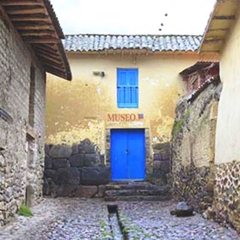
Downhill from the plaza, just across the Río Patacancha, is the old Inca Plaza Manya Raquy, dominated by the fortress. There are market stalls in the plaza plus a few artesania shops and cafés nearby, rnainly opposice the attractive small church, the Templo de Santiago Apóstol. Built in 1620, it has an almost Inca-style stone belfry containing two great bells supported on an ancient timber. The church's front entrance is surrounded by a simple yet appealing mestizo floral relief painted in red and cream.
Climbing up through the fortress, the solid stone terraces and the natural contours of the cliff remain frighteningly impressive. Above them, huge red granite blocks mark the unfinished sun temple near the top, where, according to legend, the internal organs of mummified Incas were buried. A dangerous path leads from this upper level around the cliff towards a large sector of agricultural terracing which follows the Rio Patacancha uphill. From up above you can see down to the large Inca plaza and the impressive stone aqueducts which carried the water supply. Between here and the river you see the Andenes de Mollequasa terraces which, when viewed from the other side of the Urubamba Valley (a 20min walk up the track from the train station), look like a pyramid.
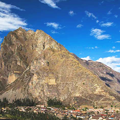
High up over the other side of the Río Patacancha, behind Ollantaytambo, are rows of ruined buildings originally thought to have been prisons but now considered likely to have been granaries. In front of these, it's quite easy to make out a gigantic, rather grumpy-looking profile of a face carved out of the rock, possibly an Inca sculpture of Wiraccochan, the mythical messenger from Viraccocha, the major creator-god of Peru. According to sixteenth- and seventeeth-century histories, such an image was indeed once carved, representing him as a man of great authority; this particular images frown certainly implies presence, and this part of the mountain was also known as Wiraccochan Orcco ("peak of Viraccocha's messenger"). From here, looking back towards the main Ollantaytambo fortress, it's possible to see the mountain, rocks and terracing forming the image of a mother llama with a young llama, apparently representing the myth of Catachillay, which relates to the water cycle and the Milky Way. The Sacred Valley of the Incas - Myths and Symbols (available in most Cusco bookshops), written by archeologists Fernando and Edgar Salazar, is a useful companion for interpreting the sites in this part of the valley.
Ollantaytambo is surrounded by stunning countryside and skyscraping mountain peaks, and offers a wealth of interesing day-trip options.
It's easy enough just to choose a path leading up into the hills to the east and see where you get to, remembering, of course, that you will need a tent or have to get back to town by ?'" nightfall. Any route will provide a good hike, bringing you into close contact with local people in their gardens. There are also a number of organized tours, available from Ollantaytambo as well as from agents in Cusco.
The area around Ollantaytambo is an excellent spot to begin trekking into the hills. One possibility is to head along the main down-valley road to Km 82, where a bridge over the Río Urubamba is becoming an increasing popular starting point for both the IncaTrail and Salcantay. Alternatives are the hard-going two-day trail to the beautiful and remote lake of Yanacocha, or travel up the Río Patacancha to the little -visited Inca ruins of Pumamarca, on the loft of the river where the Río Yuramayu merges with the Patacancha under the shadows of the Nevada Helancoma. from here the main track carrier, on along the right bank of the Río Patacancha through various small peasant hamlets - Pullata, Colqueracay, Maracocha and Huilloc - before crossing the pass, with the Nevada Colque Cruz on the right-hand side. It then follows the rios Huacahuasi and Tropoche down to the valley and community of Lares, just before which are some Inca baths. Beyond the village are several more ruins en route to Ampares, from where you can walk back to Urubamba, travel by road back to Cusco, or head down towards Quillabamba. It's at least a two-day walk one way, and you’ll need camping equipment and food, as there are no facilities at all on the route.
The Inca quarries of Cachiqata can be reached in four hours on horseback with a Cusco or Ollantaytambo tour company. It's also possible to camp here and visit the site of an Inca gateway or Intihuatana There are also the nearer ruins of Pinkuylluna, less than an hour away by horse, or the Pumamarca Inca ruins about half a day away.
Ollantaytambo is a center for river rafting, organized largely by KB Tours on the main plaza, who also offer lodging, mountain-biking and trekking tours; all activities start from around $45/day. Alternatively, arrange a rafting trip with one of the Cusco-based tour companies .The river around Ollantaytambo is class 2-3 in the dry season and 3-4 during the rainy period (Nov-March).